The Pinellas Trail
The Pinellas Trail is a cycling & pedestrian trail on the
Pinellas Peninsula west of Tampa Bay. The trail extends from St.
Petersburg in the south to the Pasco County line in the north. It
will eventually be joined to other trail fragments on the
peninsula to make a roughly 75-mile loop. There is also a spur
north into Pasco County that connects to the still-to-be-completed
Coast-to-Coast
Trail that will eventually connect to the Gulf to the
Atlantic. Much of the trail is along the Orange
Belt Railway right-of-way, some of which is still an active
rail line.
Since
this is Florida, there are few hills on this trail, though there
are bridges over roadways that require climbing up some ramps. The
maximum elevation along the trail is about 90 ft; the lowest point
is a few feet above sea level. This travelogue includes pictures,
Google map links, and my observations on entire length of the
trail (including the Starkey Trail), as well as some links to
online resources related to hiking and biking trails. It is in
geographical, rather than chronological, order.
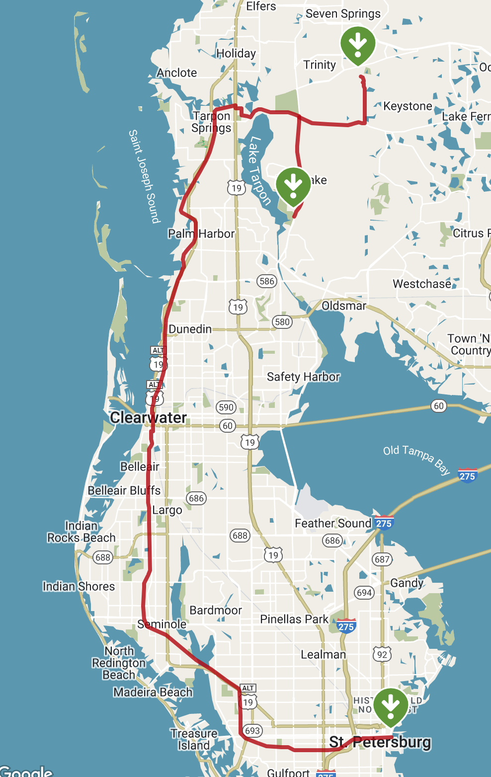
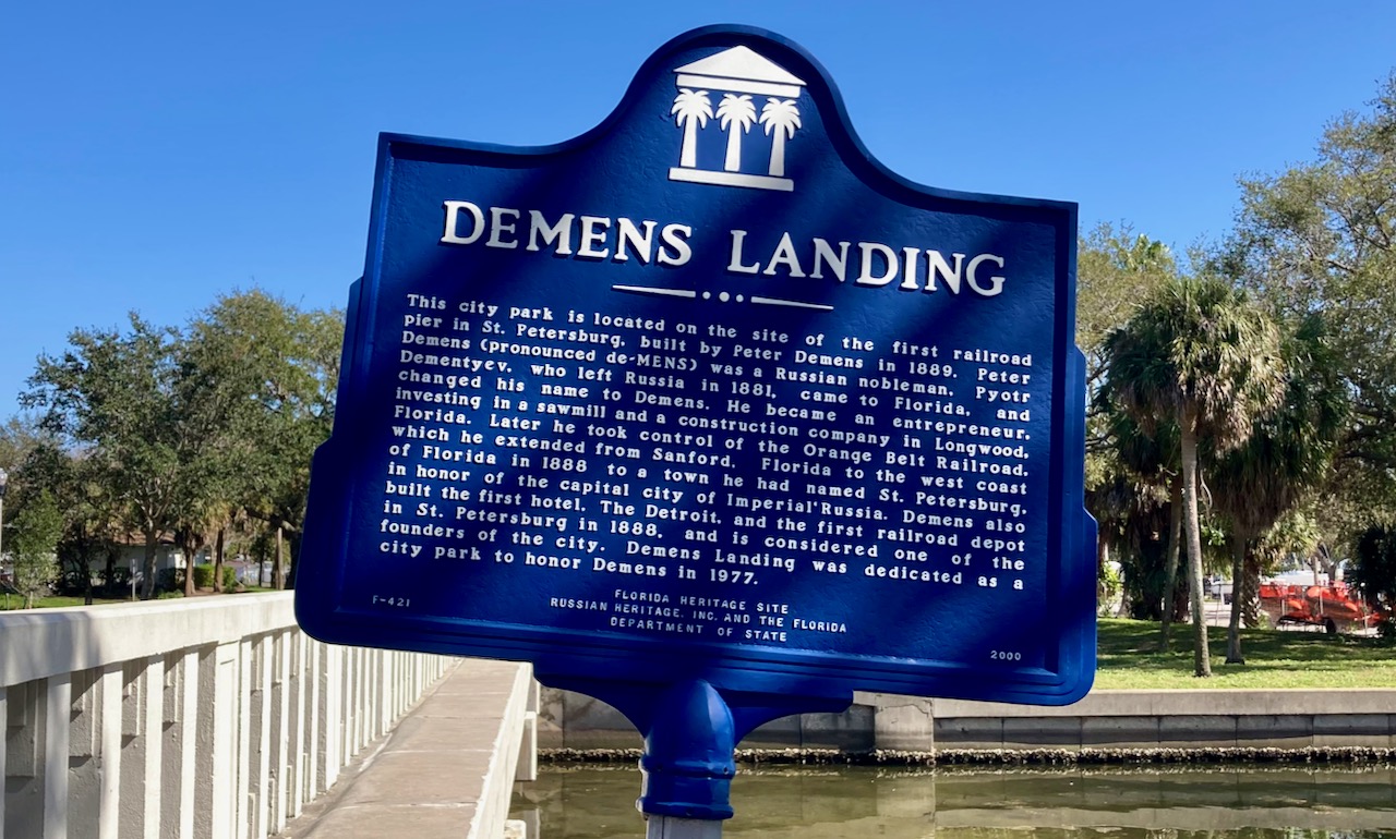
The
trail begins at Demens Landing (map
link), named for a Russian who came to Florida in 1881,
founded and named St. Petersburg. He eventually took over and
extended the Orange Belt Railway.
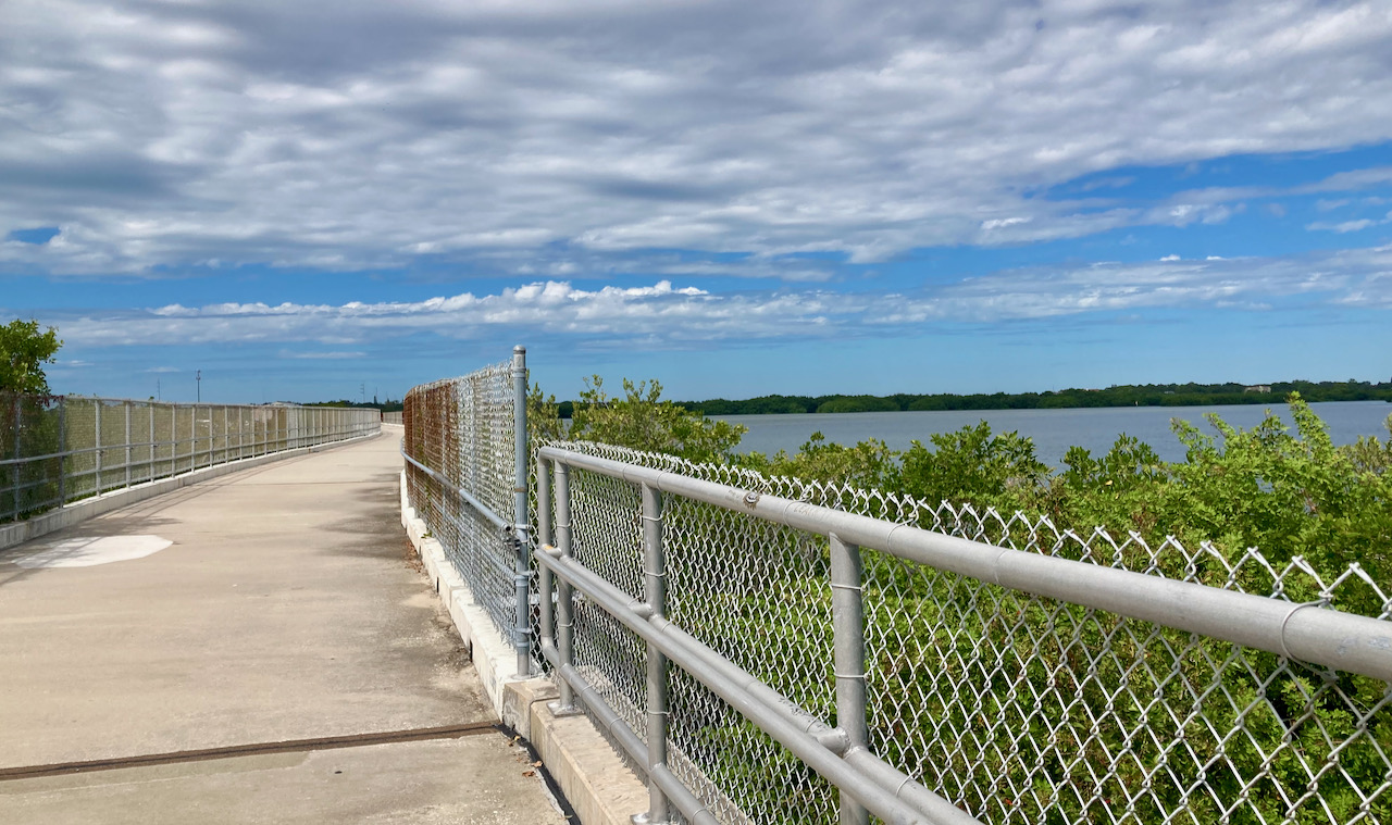
After
a ten-mile ride through a drab urban landscape, one encounters a
pedestrian and cyclist’s causeway that crosses an inlet known as
Long Bayou (map
link). This is a view looking northwest toward Seminole.
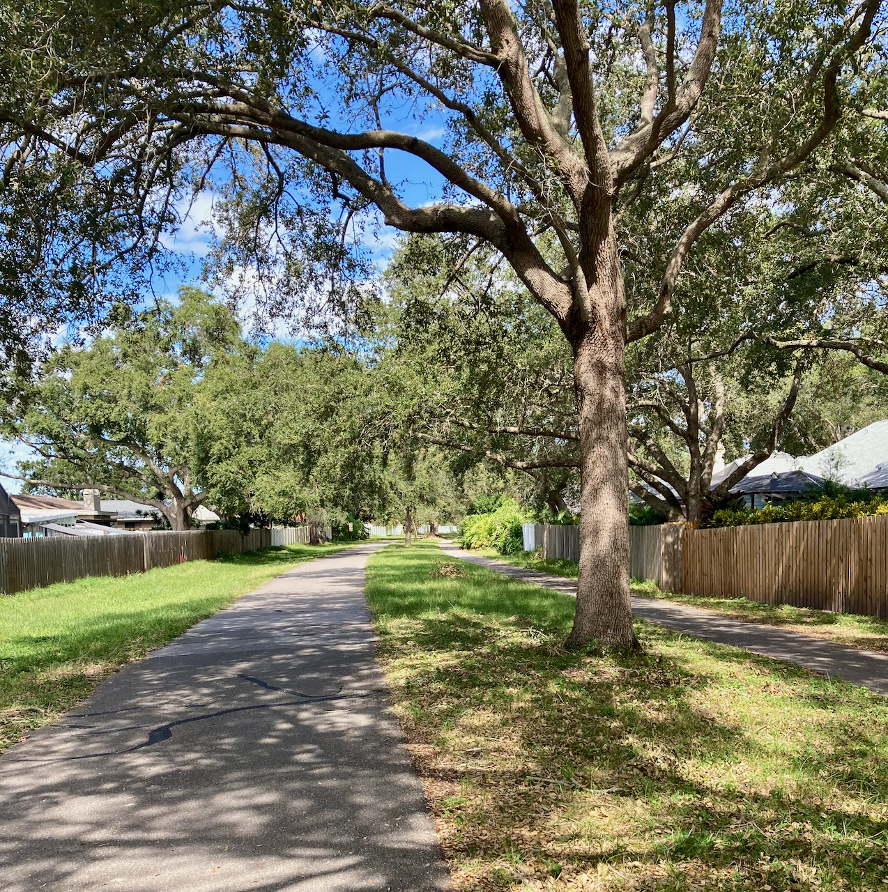
After
crossing the water, the trail is pleasantly tree-lined (map
link):
A
short (0.5 mile) detour at Walsingham Rd. rewards the rider with a
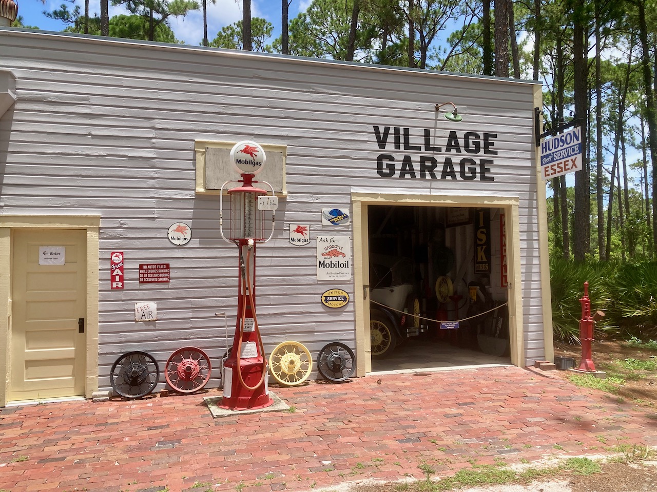
visit to the Florida Botanical Gardens and Heritage Village. The
Village consists of a collection of historic buildings moved there
from various nearby locations in Pinellas County. This is an early
20th century garage and general store that once stood
in St. Petersburg (map
link):
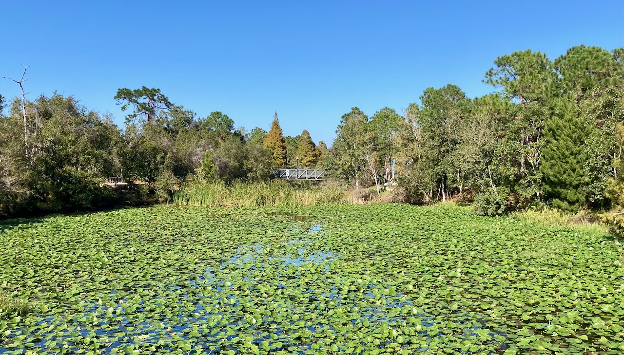
The
Botanical Garden has lots of plants and ponds (map
link)
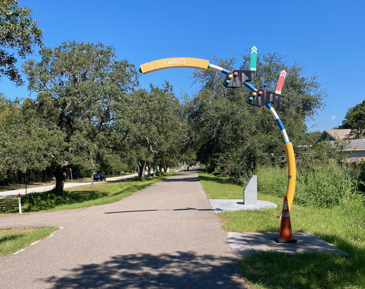
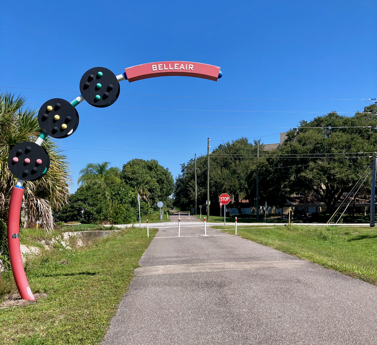
In a
nod to the rail provenance of this trail, there are signs like
this for most of the towns along the way (map
link):
Shortly
thereafter,
we encounter the first bridge across a major road, Bay Drive (map
link):
This
is a fairly typical intersection with a cross-street, a four-way
stop (map
link). As a practical matter, it is rarely necessary to stop
because there is no cross traffic and drivers are extremely
(perhaps, overly) deferential to cyclists on the trail, always
yielding the right of way.
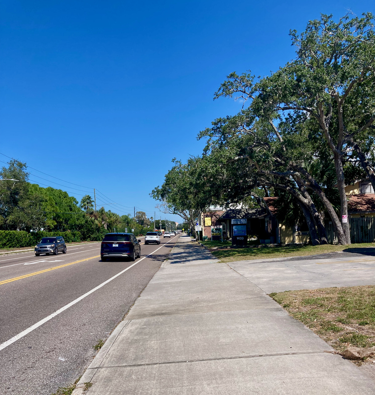
While
almost all of the trail is well-separated from roads, parts
through the highly-urbanized Clearwater are not so pleasant. This
100-yard section is essentially a sidewalk alongside Ft. Harrison
Avenue (map
link):
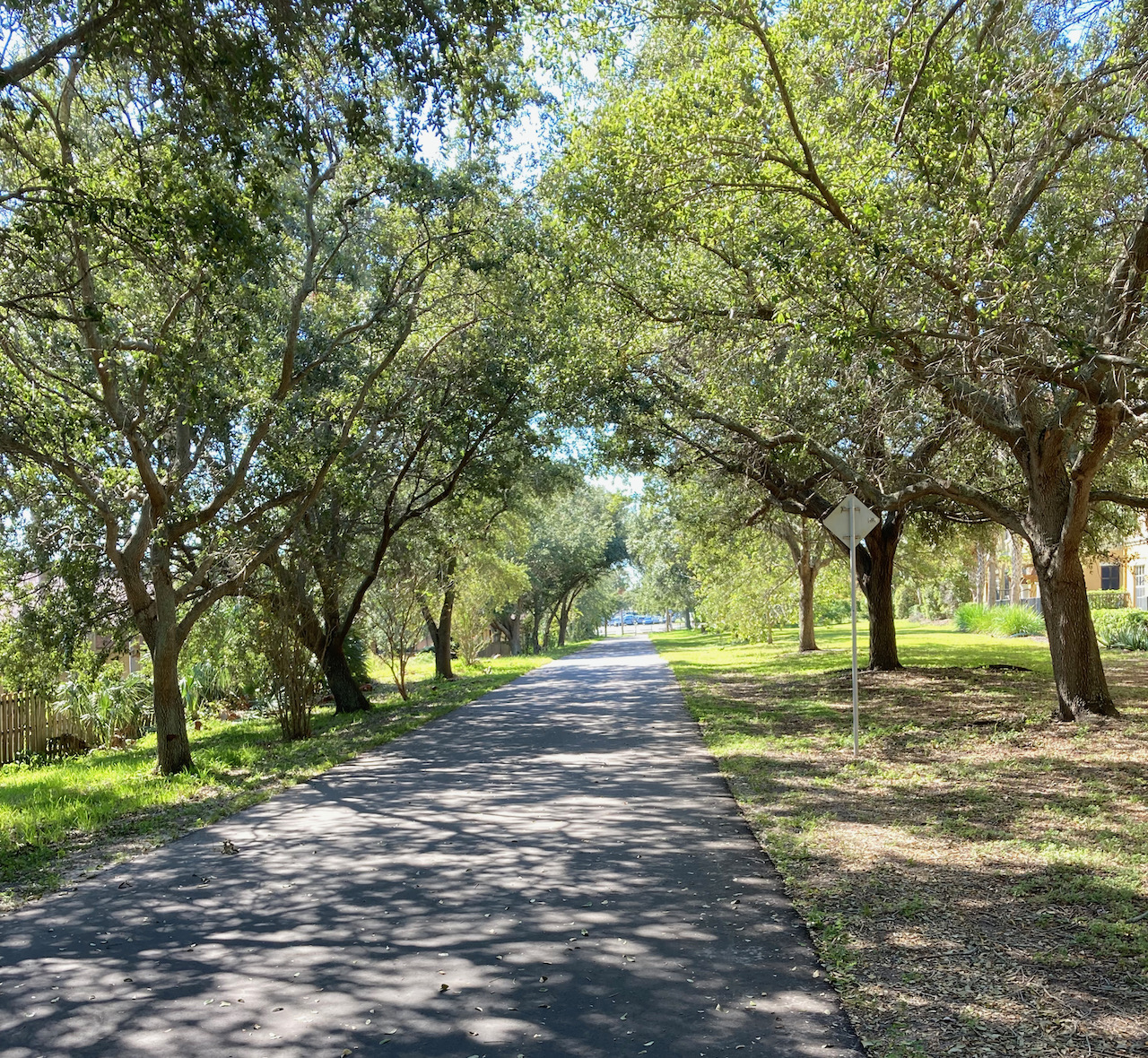
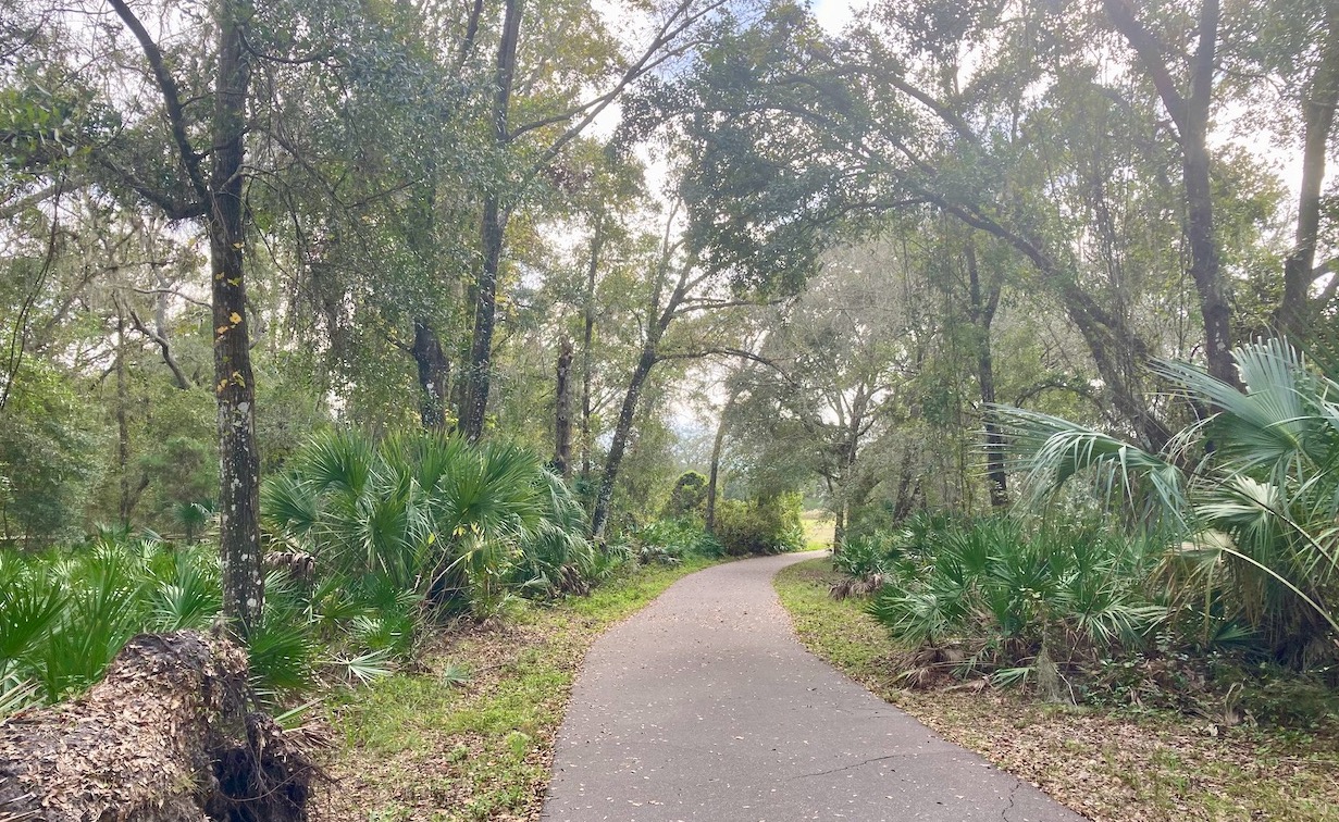
Soon
enough, the trail returns to its tree-canopied form (map
link):
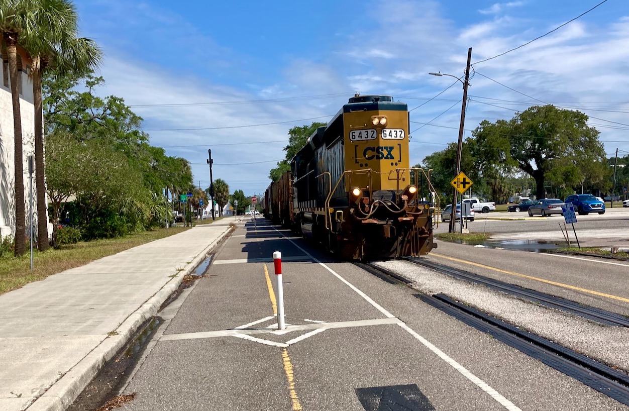
In
traversing downtown Clearwater, the trail runs along an active
rail line, though I’ve rarely seen a train on it. Rarely
is not the same as never (map
link):
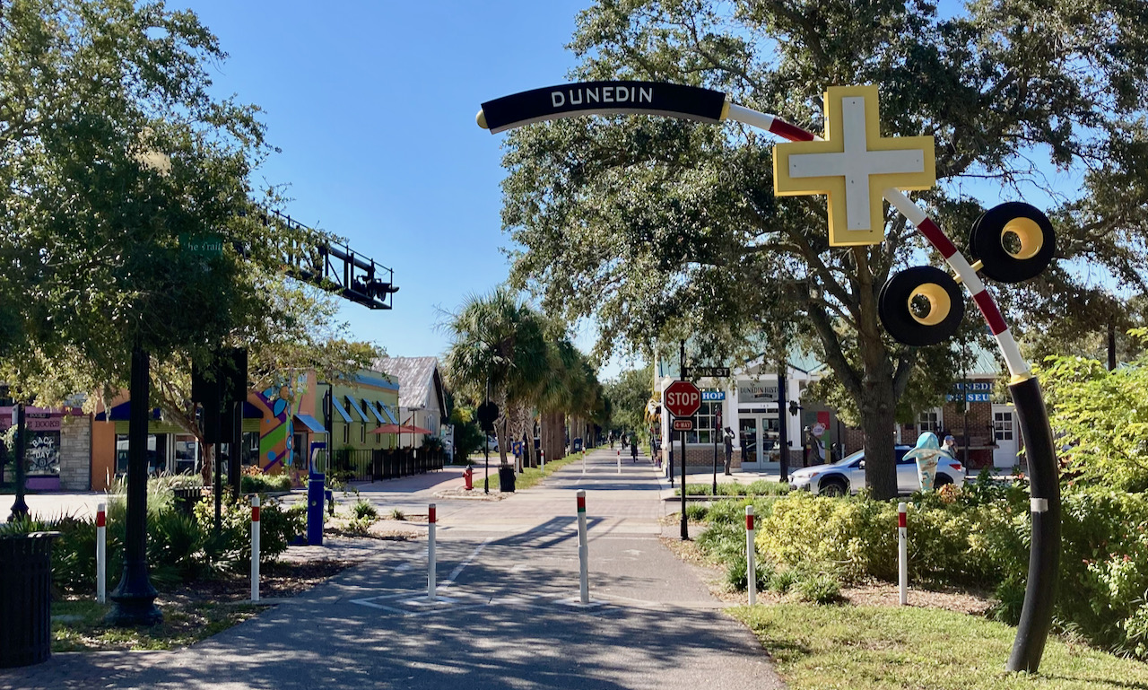
In
downtown Dunedin, there are 4-way stops at cross streets and
little cross traffic (map
link):
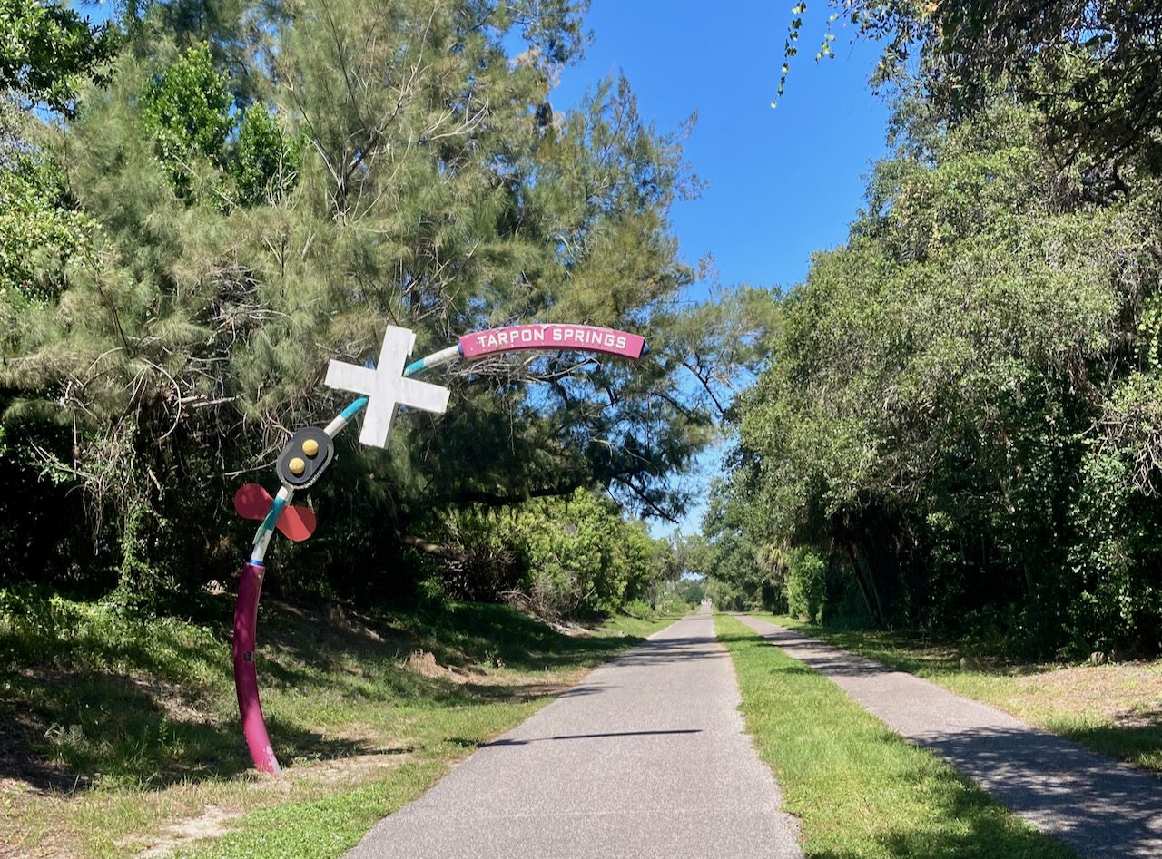
The
trail continues, sometimes alongside a street but more usually as
tree-lined path, to Tarpon Springs (map
link). The pedestrian path is often separated from the bike
path by a grass strip:
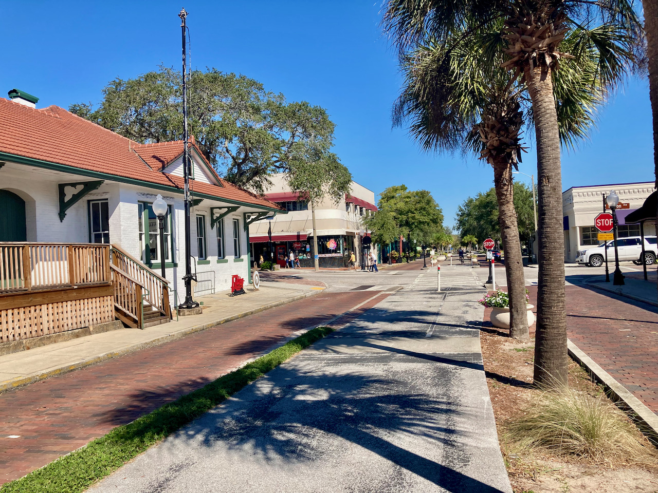
In
Tarpon Springs, the trail continues along the median of Safford
Avenue (map
link). The former railway station, now a museum, is on the
left:
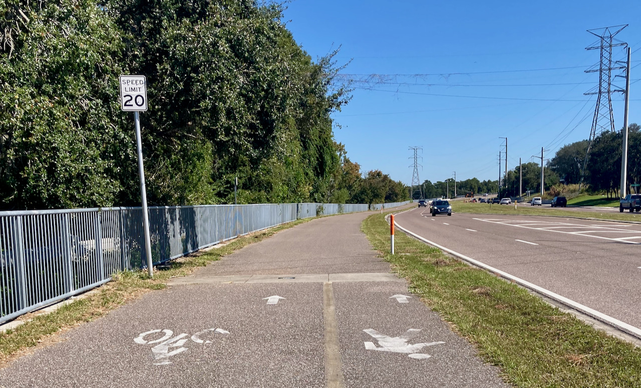
At the
north end of Tarpon Springs, the trail parallels Keystone Road,
making for a noisy ride (map
link):
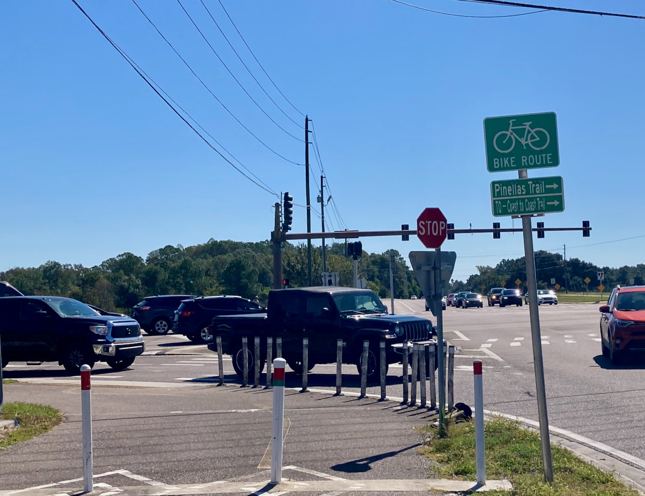
At
this crossroads, one can continue on the Pinellas trail south, on
the east side of Lake Tarpon, or east on the Coast-to-Coast Trail
(map
link), about which more later. This is the fork at the very
top of the map above.
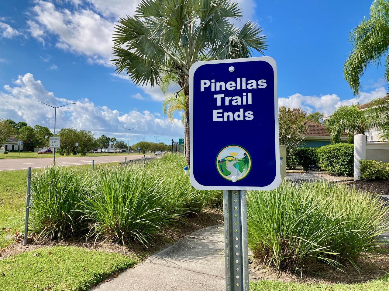
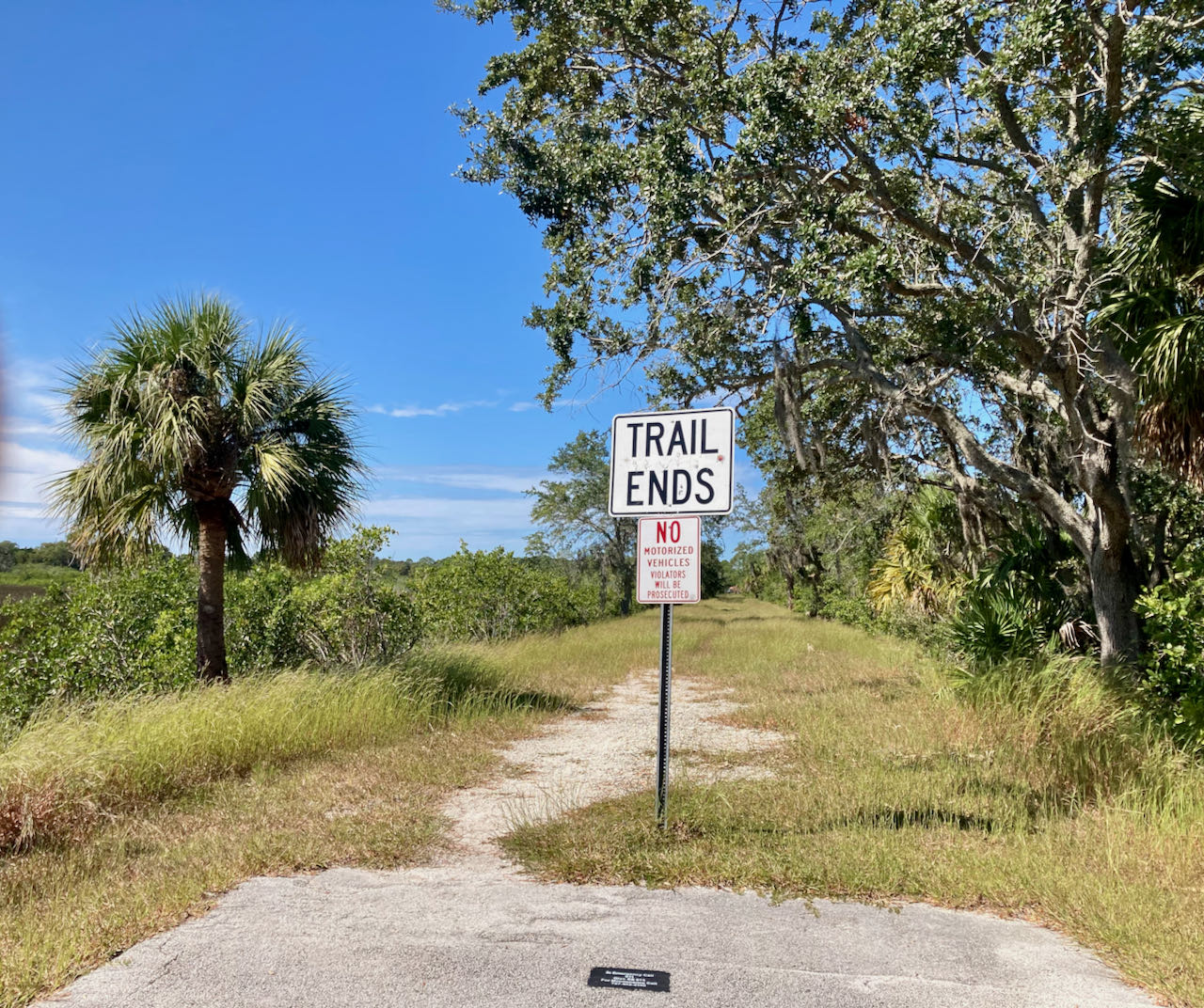
If one
takes the southern fork, the trail ends unceremoniously in the
middle of nowhere, or so it seems (map
link):
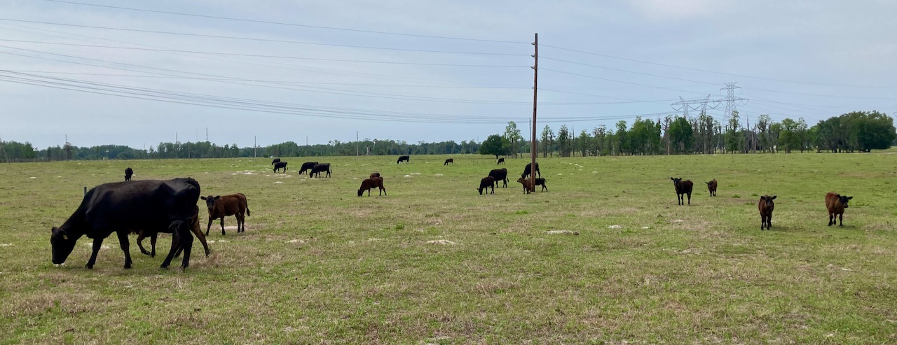
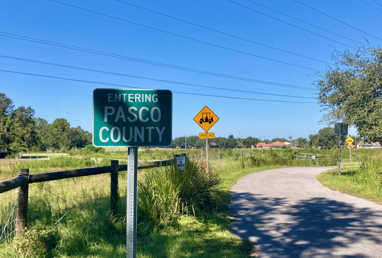
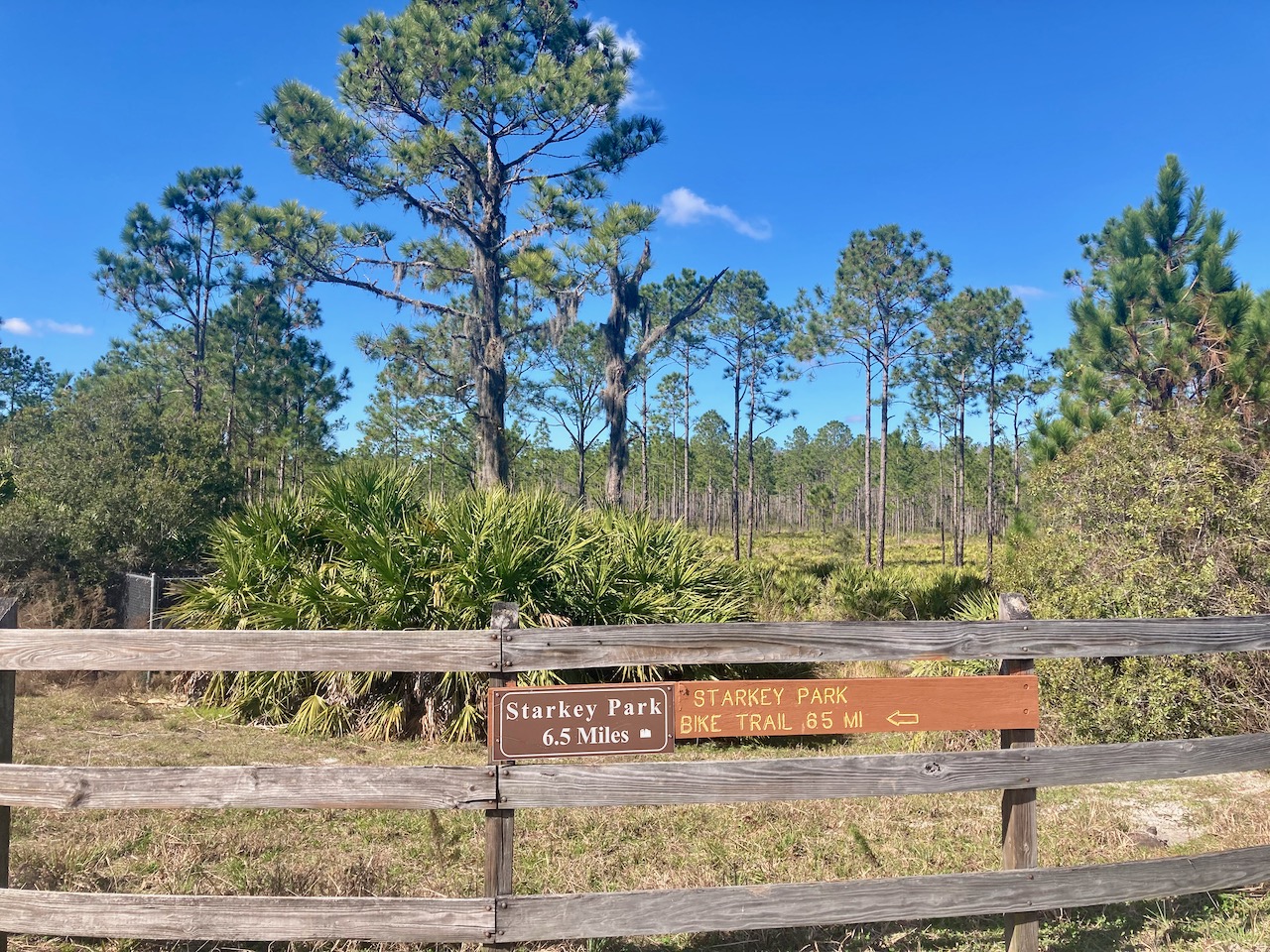
The
other fork takes one to the Pasco County line through some
pleasant rural areas: Brooker Creek Preserve (map
link).
The
trail continues as the Starkey Gap Trail in Pasco (map
link):
After
a nice ride through Starkey Wilderness Park (map
link),
one
finally arrives at the Sun Coast Trail (map
link), having traveled 60 miles from Demens Landing:
But
wait, there’s more. A section of trail that provides another entry
point to Pasco County is closed off, presumably because of a
problem with the bridge (map link). However, it can be
approached from the other side to find another trail end (map
link):
A good
ride concludes with a beryllium/erbium combination — an alkaline
earth and rare earth.
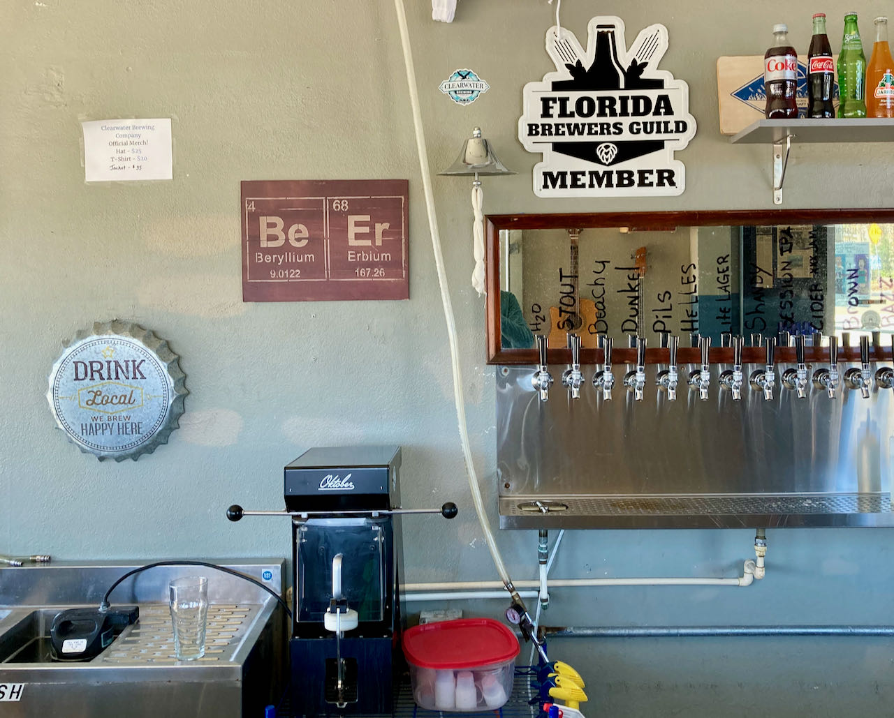
There
are many breweries along the trail, most of them probably good.
Some
useful resources for the trail aficionado:
All Trails: Specializing
in hiking trails. Gives the elevation profile of trails.
TrailLink: Operated by the
Rails-to-Trails Conservancy. Emphasis on converted rights-of-way.
Both
of these sites have mobile apps that are useful while on the road.